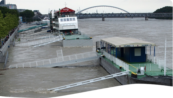
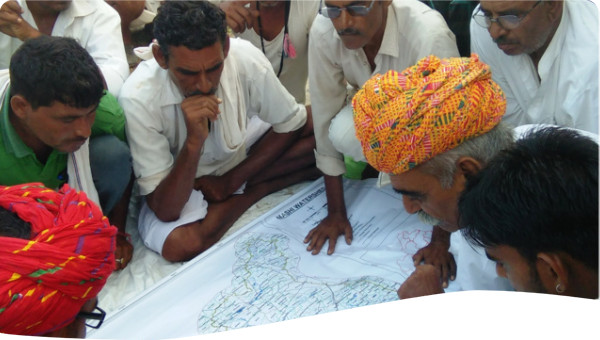
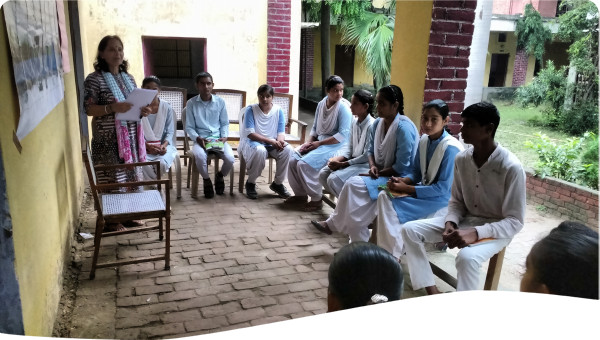
It is well known that for the successful implementation of any project, a government buy-in is mandatory. The young researchers of SMCoSE Youthmappers had to ensure that the initiative secured all the blessing from the local government that has the jurisdiction in the study area i.e., Morogoro Municipality Council and its divisions and sub-divisions. The researchers of this initiative used the bottom-up approach through a series of outreach activities to sub ward and ward levels aimed at describing what the initiative is trying to solve so that they can acknowledge if what the initiative is addressing is their problem. The Municipality level followed where the researchers of this initiative undertook the meetings with the disaster and environmental department to give them a full understanding of what data was going to be collected, who will have to collect it, how will be used and who will be using, this had also provided a room for collaborative development of data collection methodologies.
Technically, the initiative was born as a result of the synergy of the activities from the three projects.
The first project (2020-2021) aimed at enriching the government with data for flood resilience i.e., waste collection points and household flood experience information. Flood vulnerable areas were identified and this project also managed to develop cost-effective routes to help the municipal transport waste from households to the disposal sites.
The second project (2021-2022) aimed at enriching more data notably the distribution of plastic bottles and siltation level in the storm drainage systems, to help the government with the effective and efficient allocation of resources for storm drainage refurbishment purposely to enhance the flow of water during the flooding events. This project will also create a baseline machine learning model that will be used to estimate the potential of flash floods in Morogoro.
The current project (2022-2023) aims at scaling what has been conducted in the previous two projects and replicating it in other vulnerable areas in Morogoro region. This project titled “Mapping Flood protection zones and evacuation routes to improve preparedness and response capabilities to flash floods in local communities" both in Morogoro municipality and Ifakara Town Council shall ensure availability, accessibility, and usability of data to other vulnerable areas in Morogoro i.e., Ifakara Town Council. Apart from that, this project is also developing evacuation routes and enriching more data to the baseline machine learning model that estimates the potential of flash floods in Morogoro.
Furthermore, the initiative has been using open-source tools i.e., mobile phone technologies i.e., Kobo collect to collect georeferenced imagery datasets from the field, python programming language for data cleaning and modeling, and Quantum GIS and its associated plugins for map generation. On the other hand, University students have been the main field experts under the supervision of senior researchers from Sokoine University of Agriculture, disaster management experts from the government, and the local people residing in the study area.
The initiative is strongly grounded in knowledge management and exchange strategies where all the collected data, the process of data collection, presentation, and validation have been documented and shared with the strategic stakeholders i.e., research institutions (academicians and senior researchers), government, private sector (NGOs, CBOs, FBOs) and the general public. For example, all the collected data was shared with the government and we are witnessing the timely refurbishments of storm drainage which was once a challenge.
 Case studies

