Climate change is expected to severely affect water resources in the low-lying part of the Netherlands. It was decided to take an integrated approach and a process was set up in which all parties claiming space in the area were invited to discuss the water issues. The key insight from this case is the additional water needs can be integrated in the spatial planning through an open planning process.
Two waterboards are responsible for the water quality and quantity within a polder area of 20,000 ha, called Alblasserwaard and Vijfheerenlanden, in the low-lying part of the Netherlands. On average, the polder area lays 1m below sea level and water is pumped out of this polder area into the surrounding river system. In the summertime, water from the rivers is used to keep water levels up to the required levels (in the polder areas).
Branches of the river Rhine are the north and south border of the Alblasserwaard and Vijfheerenlanden. Dikes protect the area from river flooding. The climate changes are expected to lead to sea level rise, more intensive rainfall and increasing peak river discharges in the winter period and decreasing river discharges in summer time.
Analyses show that the climate change in combination with the land subsidence of the peat soils in the polder areas will have a great impact on the drainage capacity. Draining of excess water becomes problematic due to lower land level and higher water levels on the river system on which the excess water has to be pumped, which in turn implies increased head.
The traditional way to solve these problems is to enlarge the canals (discharge capacity) and to increase the pumping capacity but this will lead to enormous costs (considering construction of additional pumping capacity and enlarging canals.
An alternative approach is to create more space in which water can be temporally stored during periods with excess rainfall. However there is a scarcity of space in the densely populated Netherlands. Instead of competing with other interests for the limited remaining space in the area, a possible solution lies with integrating with the other interests: multifunctional use of the limited space.
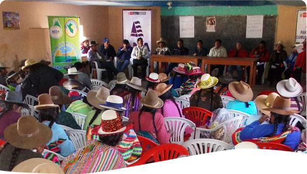
A process was set up, in which all parties claiming space (agriculture, recreation, town planning, etc.) in the area were invited to discuss the water issues, focusing on the extra buffer space needed for the water system. Experts from the urban planning office and other government agencies also joined to share a broad view of the challenges. In several sessions, it was discussed, under which conditions water storage could be combined with other land uses.
An open planning process was introduced, in which all parties claiming space could get acquainted with the future water problems on the one hand, and on the other hand could give their views on how to solve them through multifunctional use of the limited space. The framework consists of three key elements the frontier, the transition and the backbone.
Relief of the high stresses on the dikes in the north of the area is created in the form of the frontier. Rather than keep increasing the dike heights at this area the vision is to stop working on these dikes and only correct for settlement at the weakest spots. By predefining the spots at which water is allowed to overtop the dikes the water can easily be collected and uncontrolled flooding can be prevented.
Retention basins will be developed for storage in low level flooding having probability of 1 in 5 years. By seeing controlled overtopping at this high frequency the population can be made more aware of the fact that they are living in a polder. The motive of retention basins having flooding probability of 1 in 5 years is to raise awareness about water safety, and introduce the concept of "Living with water nuisance". So, flooding of these basins will be fully controlled ensuring the safety of properties and people however, keeps the presence of water fresh in mind motivating preparedness for disaster.
Several emergency storage areas having the capacity for using in 1 in 2000 years flood condition will be created. As the name suggests, the major objective of creating such storage areas is to reduce the overall pressure in the system during the very high flow in the river. The emergency storage areas are lowered a bit such that in case of a 1/2000 flood event they can accommodate the large amount of water that will flow into the polder. In normal circumstances they can be used for conventional cattle farming or recreation.
The Backbone is a solid structure or a super dike, a plateau where people will be working and living on. This approach consists of people living on the dike instead of living behind the dike fostering economic growth and flood security for the region.
This case shows that the additional water needs can be integrated in the spatial planning through an open planning process, which, if implemented in a correct way, will provide a sound basis for solving the future impacts of climatic change. It also shows that the problems related to the expected climatologically changes in water systems can be solved in a sustainable way, not only depending on costly technical solutions. In the coming years, this framework plan will be worked out in detailed plans and implemented. The financial arrangements will be worked out for each plan, clear is that the involved parties (including the water manager) have to participate.
The strategy is intended to included the stakeholders from an early phase so their contributions can be used in working out the project before construction works start. This way the stakeholders will feel connected to the project and are more likely to cooperate with the implementation. Besides the involvement of stakeholders education and raising awareness should be one of the first steps in the process. Once the initial preparations are finalized the real designing and implementation of the project can start, which will take step by step from 2015 until 2100.
We envision that by 2100 the Alblasserwaard-Vijfherenlanden Polder has made a transformation into a competitive and water safe society with a strong cultural identity. The population has become more aware of the meaning of flood risks and has therefore adapted to the environment by living with water. The Backbone solution together with the overflows is able to guarantee a long term protection against floods, which of course attracts entrepreneurs that see new economic drivers.
In addition to storing water during the flood season, artificial lakes can be used for the purpose of water sports such as boating, fishing and iceskating. The presence of artificial lakes will add to the aesthetic value benefiting the area economically. Visualizing in 2100, the agriculture would be intensified and will shift from the traditional conventional farming to more technical farming; the permanently filled basins can even be used to create economic opportunities like fish farming, recreational farming, energy farming, etc.
The main result of this process is a framework plan, indicating the extra room needed for water and giving leads for multifunctional use. Practical outcomes will be assessed after full implementation of the project.
Spatial plans should be an open planning process that allows cooperation between water managers and urban planners in order to get extra space needed for the water sector.
Inclusion of stakeholder contributions from an early phase, before construction, allows them to feel connected to the project and are more likely to cooperate with the implementation.
Solutions such as controlled overtopping can be used to raise awareness while still protecting cultural and economic interests.
 Case studies


